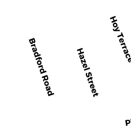
9 HOY TR
Owner Information
LOVETT PATRICK J & DEIDRE D
9 HOY TERR
MILTON, MA 02186


Property Details
9 HOY TR is classified as a Single Family Residential (Colonial).
The primary structure on this property was built in 1930. There are 1,470ft2 of built area within this property. There is 1,470ft2 of residential/living space within this property. This property is listed as having 7 rooms.
9 HOY TR is valued at $623,300. The land is valued at $393,500 and the structures are valued at $223,700. There is an additional valuation of $6,100 on this property.
This property is in Zone RC. Confirm with local Zoning Board authorities to ensure there are no overlays or other easements on this property.
The most recent deed for 9 HOY TR is recorded at the local registrar in Book 25804, Page 261. 9 HOY TR was last sold on Friday, May 30, 2008 for $415,000.
Assessment data from fiscal year 2021.
Flood Data
According to the FEMA National Flood Hazard Layer, this property does not appear to be in a flood zone. It may also be in an area not yet reviewed. Nonetheless, confirm this information prior to taking any action.
To view the flood hazards around this property, create a FEMA "Firmette" Map of the area around 9 HOY TR.
Broadband Internet Providers
| Provider | Type | Bandwidth (mbps) | |
|---|---|---|---|
| GCI Communication Corp. | Satellite | 0 | 0 |
| VSAT Systems, LLC. | Satellite | 2 | 1 |
| Comcast | Cable | 1000 | 35 |
| Verizon New England Inc. | DSL | 7 | 0 |
| RCN | Cable | 1000 | 20 |
| RCN | Cable | 500 | 20 |
| HughesNet | Satellite | 25 | 3 |
| Viasat Inc | Satellite | 100 | 3 |
Broadband service provider data from December 2020.
Adjacent Properties
- 35 HOY TR
Single Family Residential owned by ECKARD GARRY G & JEANNE M - 27 HOY TR
Single Family Residential owned by FITZMAURICE SHAWN PATRICK - 15 HOY TR
Single Family Residential owned by GAMEL GERALD P & MARGARET F - 3 HOY TR
Single Family Residential owned by PERSON JAMES G & LINDA G - 22 MURRAY AV
Single Family Residential owned by CAHILL DANIEL JOHN - 57 HOY TR
Single Family Residential owned by KENNEDY PATRICK J & MICHELLE